


A bilingual iOS app developed by The Centre for GIS - Ministry of Municipality & Urban Planning - State of Qatar. The application displays Aerial/Satellite imagery and vector maps for streets, street names, landmark symbols and provides the following services:
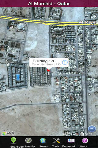
Search/Locate address through address (Inwani) data i.e. Building Number, Street Number, Zone Number.
Search/Locate Landmarks through entering whole or part of landmark name.
Search/Locate Parcel Identification Number (PIN)
Search/Locate street, zone or coordinates
Convert coordinates between QND95 and WGS84 or vice versa
Search/Locate Mosques through entering whole or part of their name. By searching Mosques categories. By performing spatial query from current location a landmark.
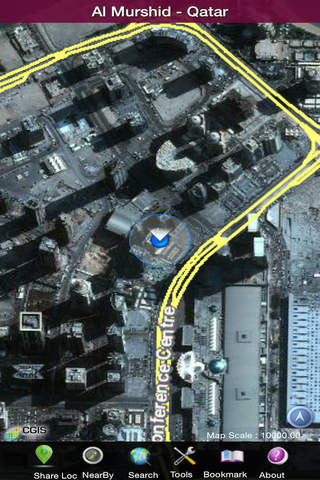
Search/Locate a user personal geographic bookmarks Marking and tracking current user location.
Spatial query and distances for landmarks from either current location or selected landmark.
Street routing between two or more points with turn-by-turn instructions.
Note : Continued use of GPS running in the background can dramatically decrease battery life.
For more information, please visit CGIS website: www.gisqatar.org.qa